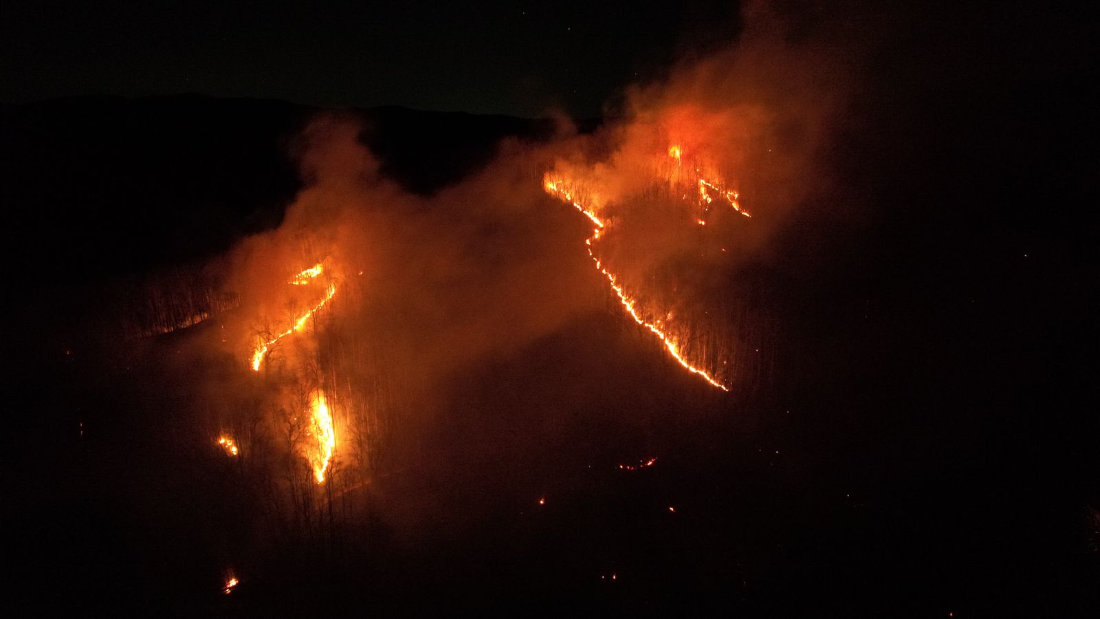
Wildfire Monitoring
Early detection, situational awareness and spread-risk analysis across large, hard-to-monitor terrain.
Learn more
We combine aerial imagery, satellite data, IoT sensors, AI and cloud technologies to turn complex data into actionable intelligence.
Our Solutions
Early detection, situational awareness and spread-risk analysis across large, hard-to-monitor terrain.
Learn more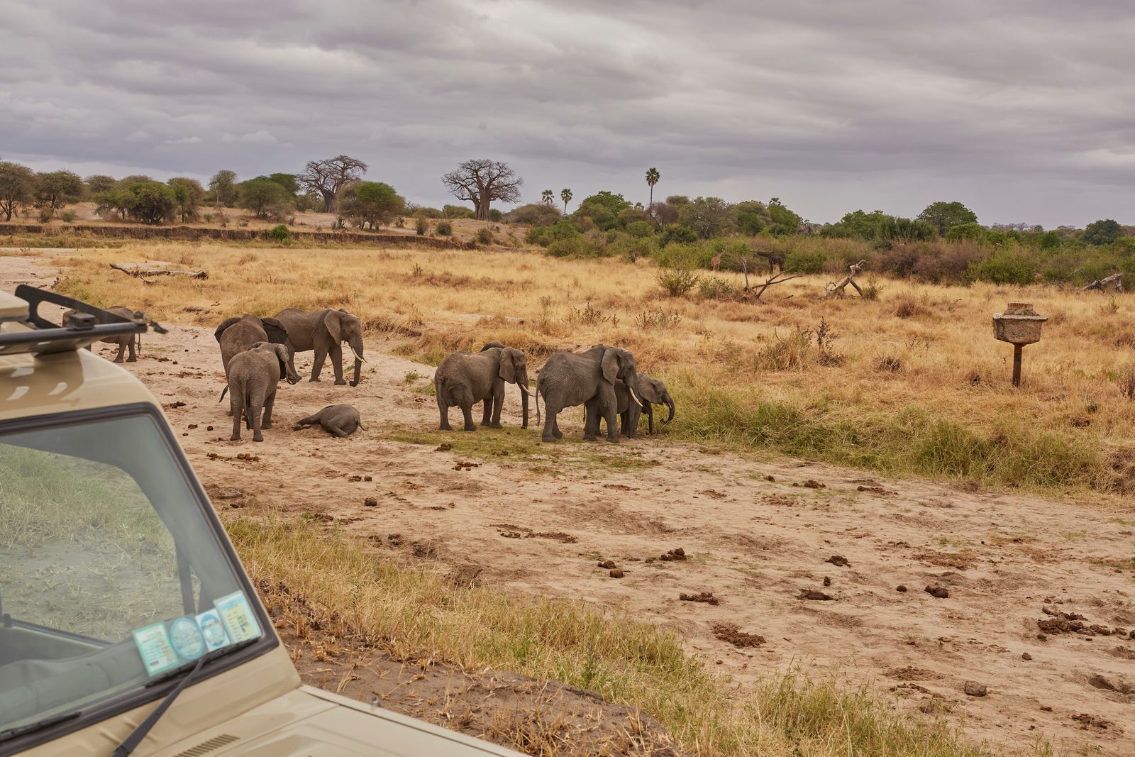
Automated species detection, population analysis and habitat-risk intelligence.
Learn more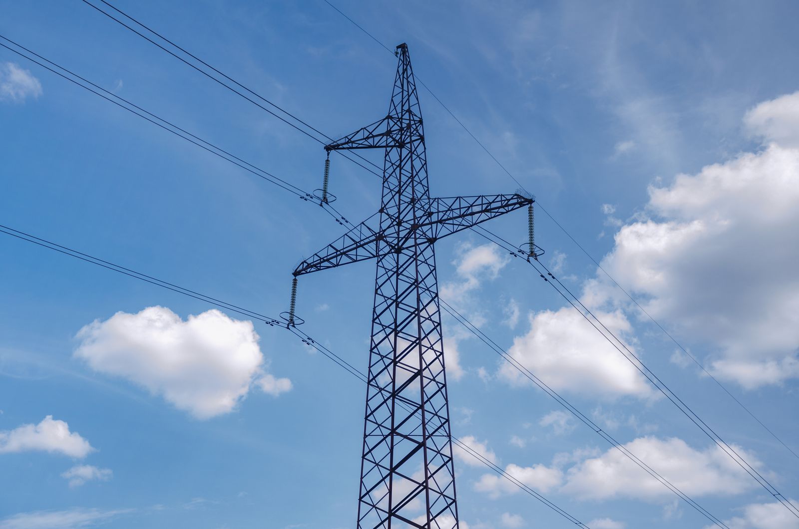
Automated inspection, defect detection and predictive maintenance for assets that are large, remote or difficult to access.
Learn more
Real-time information for damage assessment and response coordination.
Learn more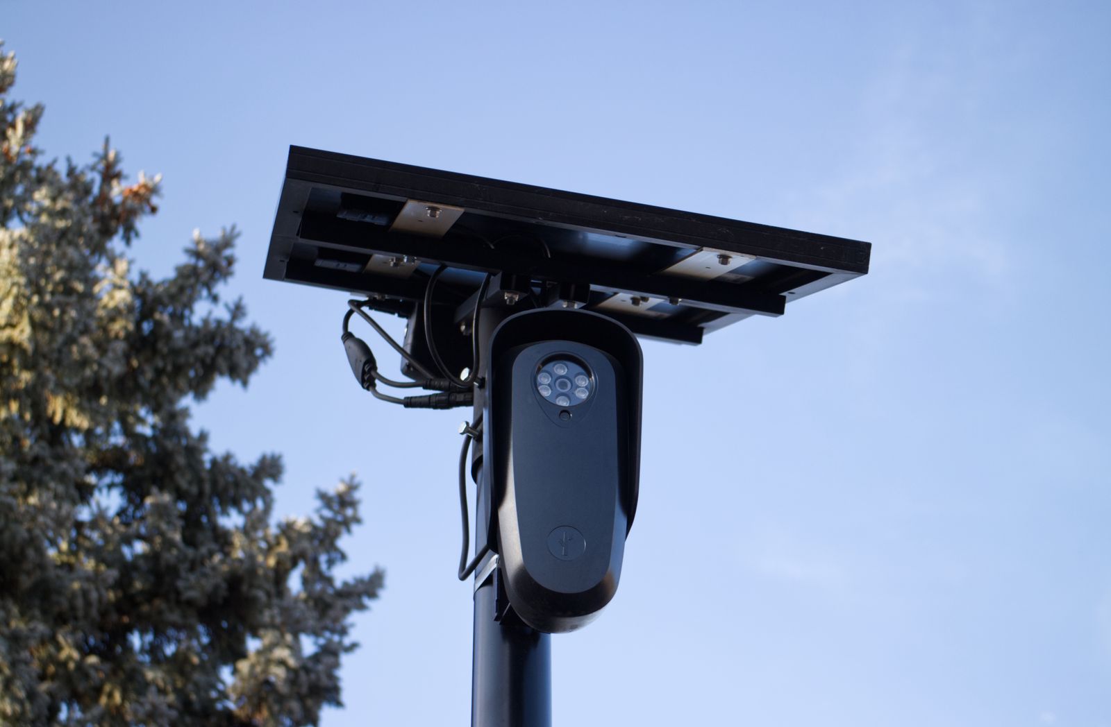
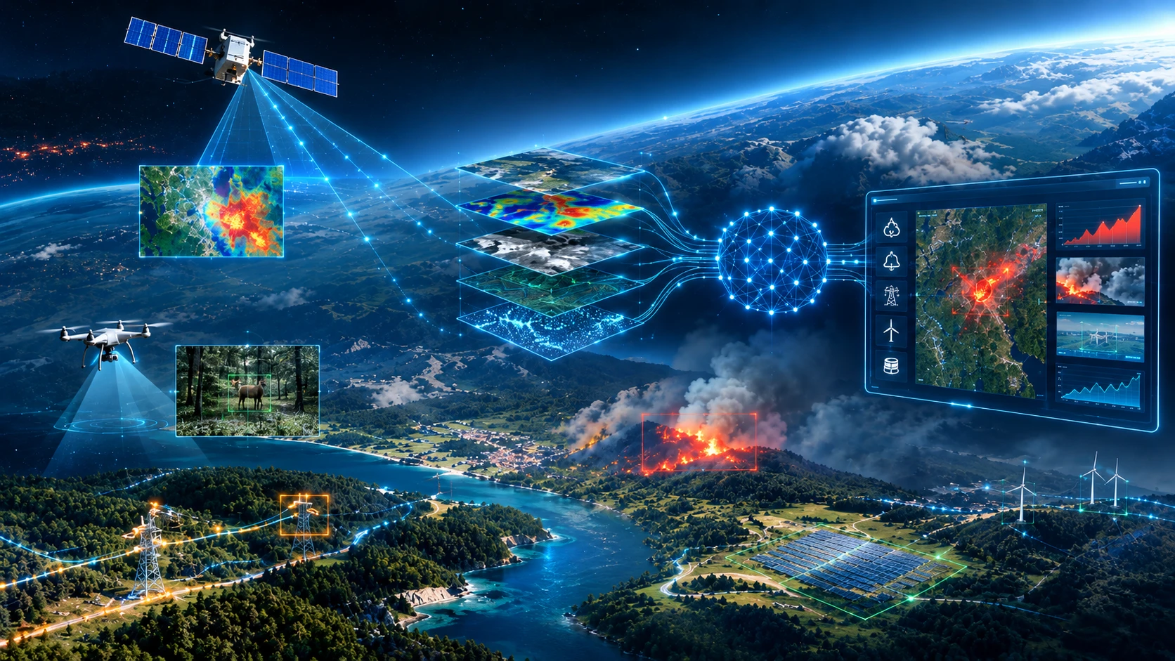
Autonomous AI agents that plan, execute and chain analysis steps over satellite and space data to answer complex questions directly.
Learn moreWhat We Do
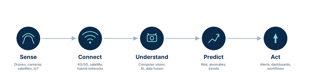
Featured Projects
AI + Earth Observation for wildlife monitoring — an ESA Business Applications feasibility study, currently in progress.
View project
Multi-source AI for early wildfire detection and risk assessment — DronEye's internal R&D demonstrator.
View projectFrom Idea to Production
Whether you're starting from a business problem, an existing sensor network, or a dataset that's never been put to work, we can take it from idea to a system running in production.
See Our ServicesUse-case discovery & strategy
Scope, data, success criteria
Rapid validation with real data
Models, pipelines, sensor fusion
Infrastructure & integration
Scaling, monitoring, support
Whether it's a business challenge, sensor data, an AI idea, or an existing system that needs extending — let's explore what we can build together.
Discuss a Project